
City
Rājkot
India
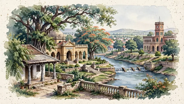
What guided this image
- Landmarks
- Watson Museum; Kaba Gandhi No Delo; Aji River; Rajkumar College; traditional Saurashtra urban architecture; semi-arid Saurashtra flora; Saurashtra
- Viewpoint
- Favor the classic viewpoint looking across the landscape toward the signature landmarks of Rājkot, showing regional foliage and foreground textures, the iconic architectural monuments in the middle-ground, and the distant horizon fading in the background.
- Palette
- Green should be the predominant color, especially in neem trees, ancient banyans in Jubilee Garden, and flowering gulmohar.
Population1,390,640Wikidata: 1,335,397
Coordinates22.29°N, 70.79°E
Elevation128 m
Area105 km²
Time zoneAsia/KolkataUTC+5:30
Solar noon12:47clock runs 0.8 h ahead of the sun
Through the Earth
Dig straight through the Earth from Rājkot and you surface in open ocean, nearest to Hanga Roa, Chile — 541 km from the exact antipodal point.
Nearest cities in the atlas
| Ahmedabad | IN | 202 km |
| Surat | IN | 243 km |
| Vadodara | IN | 249 km |
| Virār | IN | 378 km |
| Nashik | IN | 402 km |
| Thāne | IN | 411 km |
| Dombivali | IN | 416 km |
| Kalyān | IN | 418 km |
Twinned cities
Wikidata records no twinned cities for Rājkot inside this atlas.