
City
Tangier
Morocco
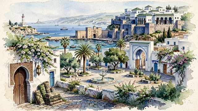
What guided this image
- Landmarks
- Kasbah; Bab; Grand Socco; Medina; Cap Spartel; Mediterranean and Moroccan coastal flora; Strait of Gibraltar
- Viewpoint
- Favor the classic viewpoint looking across the landscape toward the signature landmarks of Tangier, showing regional foliage and foreground textures, the iconic architectural monuments in the middle-ground, and the distant horizon fading in the background.
- Palette
- Green should be the predominant color, especially in date palms on the Grand Socco, flowering bougainvillea spilling over white walls, and olive trees.
Population1,035,141Wikidata: 947,952
Coordinates35.77°N, 5.80°W
Elevation80 m
Area200 km²
Time zoneAfrica/CasablancaUTC+1
Solar noon13:23clock runs 1.4 h ahead of the sun
Through the Earth
Dig straight through the Earth from Tangier and you surface nearest to Maungatapere, New Zealand — 2 km from the exact antipodal point.
Nearest cities in the atlas
| Fes | MA | 207 km |
| Rabat | MA | 217 km |
| Casablanca | MA | 294 km |
| Lisbon | PT | 443 km |
| Madrid | ES | 549 km |
| Algiers | DZ | 804 km |
| Barcelona | ES | 932 km |
| Andorra la Vella | AD | 979 km |
Twinned cities
- Casablanca MA
- Mumbai IN
2 of 14 twinned cities are in this atlas. See the full network →