
City
Skopje
Capital of North Macedonia
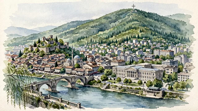
What guided this image
- Landmarks
- Ottoman Stone Bridge; Skopje Fortress; Old Bazaar; Mount Vodno; Museum of the Macedonian Struggle and Archaeological Museum; Vardar River; Ottoman-era; lush city parks
- Viewpoint
- Favor an elevated viewpoint overlooking the Vardar River toward the Stone Bridge and Kale fortress, showing the river in the foreground, the historic bridge connecting the two banks in the middle-ground, and the massive green ridge of Mount Vodno framing the scene.
- Palette
- Green should be the predominant color, especially in the thick forests of Mount Vodno, City Park along the river, and fortress hill vegetation.
- Guarded against
- Not a generic Balkan or Greek town
Population474,889Wikidata: 422,540
Coordinates42.00°N, 21.43°E
Elevation251 m
Area571 km²
Time zoneEurope/SkopjeUTC+1
Solar noon11:34clock runs 0.4 h behind the sun
Through the Earth
Dig straight through the Earth from Skopje and you surface in open ocean, nearest to Waitangi, New Zealand — 1,476 km from the exact antipodal point.
Nearest cities in the atlas
| Pristina | XK | 78 km |
| Tirana | AL | 153 km |
| Sofia | BG | 174 km |
| Podgorica | ME | 185 km |
| Belgrade | RS | 321 km |
| Sarajevo | BA | 324 km |
| Bucharest | RO | 466 km |
| Athens | GR | 488 km |
Twinned cities
- Adana TR
- Belgrade RS
- Istanbul TR
- İzmir TR
- Ljubljana SI
- Nanchang CN
- Podgorica ME
- Sarajevo BA
- Sofia BG
- Tashkent UZ
- Tirana AL
- Zagreb HR
12 of 29 twinned cities are in this atlas. See the full network →
This city sits on
- North Macedoniacountry
- 42Nparallel
- UTC+1offset